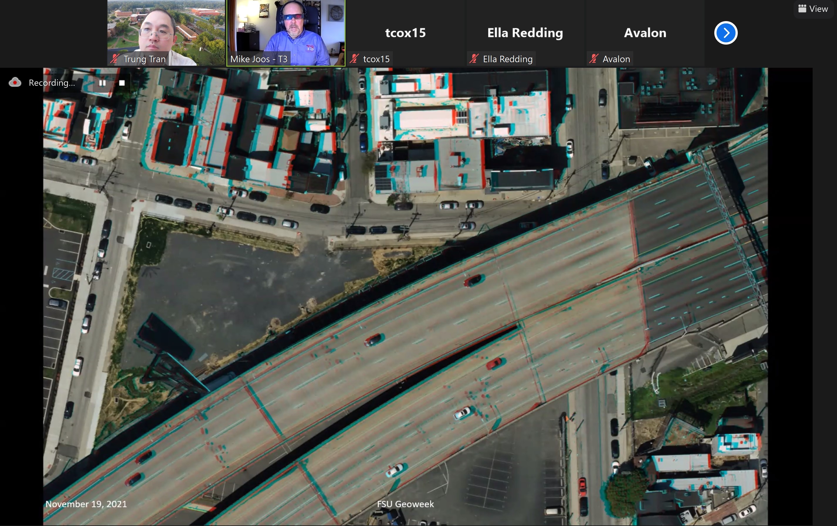
Fayetteville State University was awarded a CURISA grant for their GIS Day activities. See how they used the funds to host a virtual GeoWeek in 2021!
“Fayetteville State University, an HBCU constituent institution of The University of North Carolina System and the second-oldest public institution of higher education in the state, successfully hosted its fifth week-long Geospatial Awareness Week and GIS Day (GeoWeek) during the week of November 15th, 2021. The event was organized by the Geospatial Science and GEOINT program. The topic of FSU Fifth GeoWeek 2021 was Geospatial Science and Technology and GEOINT in Education and Practice. The event featured five keynote presentations, two panel discussions, geospatial technology presentations, career development talks, and a photogrammetric workshop that were provided by distinguished faculty and professionals from academia, government, and industry. To encourage geospatial research in students, especially underrepresented students, GeoWeek 2021 continued its tradition to organize the Geospatial Student Presentations Competition and identified winners for the first, second, and third place awards as well as winner of the People’s Choice award. GeoWeek 2021 was concluded with the FSU Geospatial Alumni and Friends Summit where open conversations between geospatial alumni and current students were made. The program details can be found at this link. We would like to thank our sponsors URISA, Caliper Corporation, and SpatialGIS as well as other supporting organizations, agencies, and industries.”
Click on the below images to enlarge.